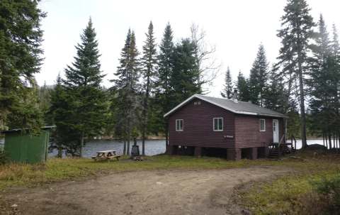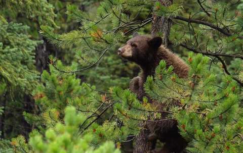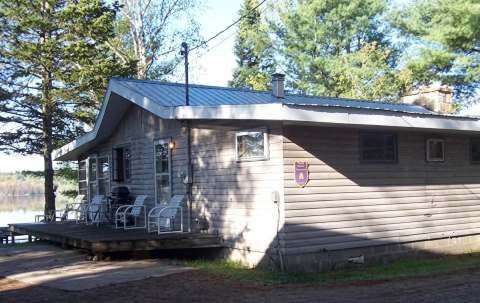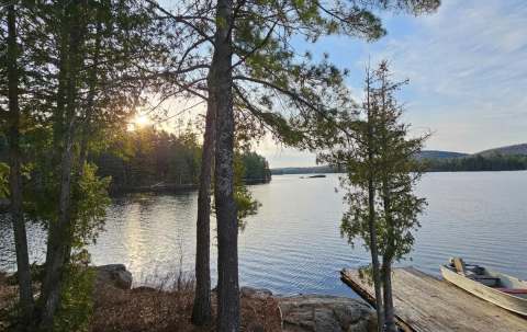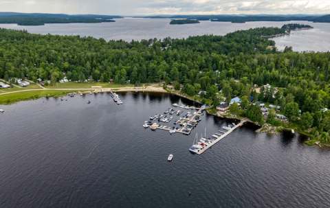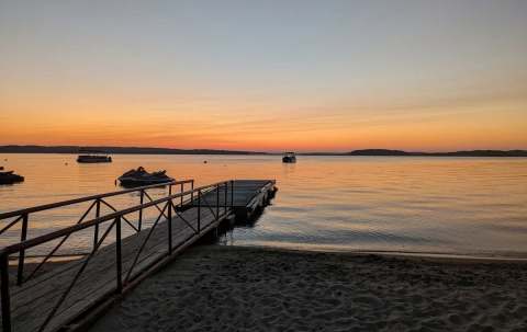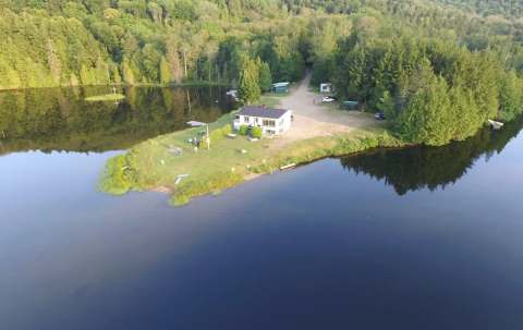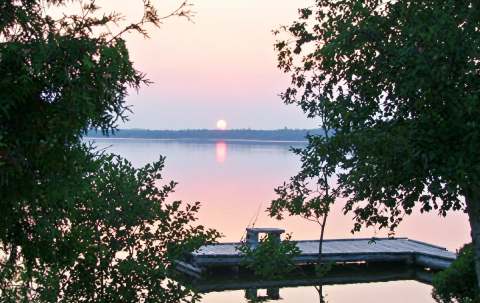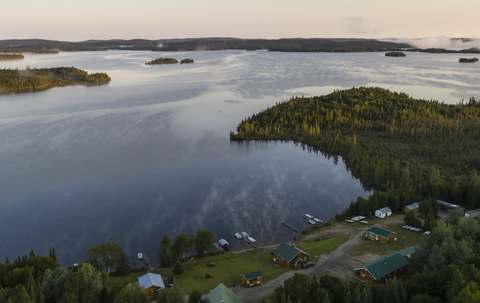
Photo of Aventure Rivière Sauvage in Outaouais, QC

Aventure Rivière Sauvage

In Waltham, Outaouais, QC·GPS coordinates : 46.0328° N, 76.8655° W

Guided booking

Your expedition starts here

Pick your package, your dates and your crew — the configurator follows you down the page. No account required.

Shuttle service and canoe rentals on the Noire River in Outaouais

Aventure Rivière Sauvage is an outfitter in the heart of Outaouais, Qc. About 4 h 05 drive from Montreal.

The territory

Where the outfitter is located

Aventure Rivière Sauvage is located in Outaouais, Quebec. The closest service town is Waltham.

Activities & rates

Aventure Rivière Sauvage packages

This outfitter has not published its packages yet. Contact them directly for rates.

Getting there

Access and distances

Directions

1952 Chemin de la rivière Noire, Waltham

The Aventure Rivière Sauvage base camp is located at 1952, Chemin de la rivière Noire, in Waltham, Pontiac (coordinates: 46°01'58.2'' N, 76°51'55.9'' W). It is approximately a 2-hour drive (150 km) from Gatineau and Ottawa, 30 minutes (30 km) from Fort-Coulonge, and 50 minutes (50 km) from Pembroke, Ontario. From Fort-Coulonge, take Route 148 West for 2.5 km from the Marchand Covered Bridge, then turn right onto Chemin du Lac de la Truite. Travel 14.5 km to Chemin de la Rivière Noire, turn right and continue for 8.5 km. Turn right onto Chemin du Lac Vert (do not cross the small bridge), go 1 km, and turn left onto South Shore Drive. From Pembroke, cross to the Quebec side towards L'Isle-aux-Allumettes and follow Route 148 East for about 22 km, past the village of Waltham. Turn left onto Chemin de la Rivière Noire and drive 18 km to Chemin du Lac Vert. Turn right, drive 1 km, then turn left onto South Shore Drive. From Maniwaki, follow Route 105 to Kazabazua, Route 301 South toward Campbell's Bay, then Route 148 West to Fort-Coulonge to follow the main route.

GPS coordinatesGPS coordinates : 46.0328° N, 76.8655° W

From major cities

Montreal
4 h 05368 km
Quebec City
6 h 31586 km
Gatineau
1 h 37146 km
Sherbrooke
5 h 46519 km
Saguenay
8 h 47790 km
Trois-Rivières
5 h 05458 km

From your home

Enter your postal code to see the approximate drive time.

Fastest route from your current location

Estimated driving distance, for guidance only

Good to know

Practical information

CITQ number
850241

Verified facts

Drive time from Montreal
4 h 05 (368 km)
Drive time from Quebec City
6 h 31 (586 km)
CITQ number
850241
About

Discover Aventure Rivière Sauvage

The outfitter

Aventure Rivière Sauvage (ARS) is an outdoor and adventure tourism company located in the Pontiac RCM, in Waltham and Fort-Coulonge, Outaouais. Situated directly on the banks of the Black River (rivière Noire), the company specializes in canoe rentals and shuttle services for canoe-camping expeditions on three of the region's iconic rivers: the Noire, Coulonge, and Dumoine rivers. The base camp offers a rustic home base on the Noire River to support various outdoor recreation projects, including family stays, hunting and fishing trips, ATV or snowmobile excursions, and mountain bike rides. All three rivers flow through wild, forested territories: - The

+ + See more

Noire River originates at Lake Saint-Pierre in the La Vérendrye Wildlife Reserve and travels 238 kilometers to Waltham. - The Coulonge River stretches 250 kilometers from Lac du Barrage, also located in the La Vérendrye Wildlife Reserve, emptying into the Ottawa River at Fort-Coulonge. - The Dumoine River flows for 244 kilometers from Machin Lake to Holden Lake, near Rapides-des-Joachims. Along these whitewater routes, paddlers will discover enchanting scenery marked by sandy beaches and numerous rustic campsites, perfect for observing local wildlife and flora. The Aventure Rivière Sauvage team shares its expert knowledge of the territory and logging roads to help adventurers plan and manage the logistics of their journey.
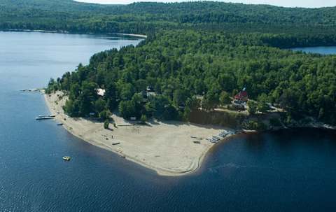
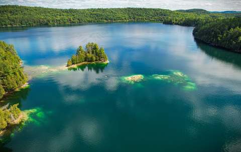
Territory and geography

The Aventure Rivière Sauvage base camp is located in the municipality of Waltham, in the heart of the Pontiac RCM in Outaouais. Established directly on the banks of the Noire River (coordinates 46°01'58.2'' N, 76°51'55.9'' W), the site is located at kilometer 25.5 by water and at kilometer 19.5 of Chemin de la Rivière Noire by land. The surrounding territory is characterized by a wild forest environment crisscrossed by three major rivers: the Noire, Coulonge, and Dumoine. The Noire River originates at Lake Saint-Pierre in the La Vérendrye Wildlife Reserve and travels 238 kilometers through forested terrain before emptying into

+ + See more

the Ottawa River upstream from Waltham. The Coulonge River stretches 250 kilometers from Lac du Barrage through a completely uninhabited area, while the Dumoine River flows 244 kilometers from Machin Lake to Holden Lake. By road, the base camp is approximately 150 kilometers (2 hours) from Gatineau and Ottawa, 30 kilometers (30 minutes) from Fort-Coulonge, and 50 kilometers (50 minutes) from Pembroke, Ontario. From Fort-Coulonge, access is via Route 148 West, then by taking Chemin du Lac de la Truite, Chemin de la Rivière Noire, and Chemin du Lac Vert. From Pembroke, the route passes through L'Isle-aux-Allumettes on Route 148 East to Chemin de la Rivière Noire. The sector is also accessible from Maniwaki via Routes 105, 301, and 148.

Frequently asked questions

What visitors ask

The Aventure Rivière Sauvage base camp is located at 1952, Chemin de la rivière Noire, in Waltham, Pontiac (coordinates: 46°01'58.2'' N, 76°51'55.9'' W). It is approximately a 2-hour drive (150 km) from Gatineau and Ottawa, 30 minutes (30 km) from Fort-Coulonge, and 50 minutes (50 km) from Pembroke, Ontario. From Fort-Coulonge, take Route 148 West for 2.5 km from the Marchand Covered Bridge, then turn right onto Chemin du Lac de la Truite. Travel 14.5 km to Chemin de la Rivière Noire, turn right and continue for 8.5 km. Turn right onto Chemin du Lac Vert (do not cross the small bridge), go 1 km, and turn left onto South Shore Drive. From Pembroke, cross to the Quebec side towards L'Isle-aux-Allumettes and follow Route 148 East for about 22 km, past the village of Waltham. Turn left onto Chemin de la Rivière Noire and drive 18 km to Chemin du Lac Vert. Turn right, drive 1 km, then turn left onto South Shore Drive. From Maniwaki, follow Route 105 to Kazabazua, Route 301 South toward Campbell's Bay, then Route 148 West to Fort-Coulonge to follow the main route.

Aventure Rivière Sauvage is located in Outaouais, Qc.

Guest reviews

What guests say about Aventure Rivière Sauvage

No reviews for Aventure Rivière Sauvage yet. Stayed there? Your feedback will help the next visitors.

Be the first to share your stay.

Write a review

Google reviews

4.6(31 reviews)

Reviews published on the outfitter's Google listing. Source: Google.

4.6 out of 5 on Google — Aventure Rivière Sauvage

Have a question?

Contact Aventure Rivière Sauvage

Ask your question directly to the outfitter. We forward your message in full confidence, and you receive the reply by email.

Your trip details

Stay dates

Keep exploring

More outfitters in Outaouais

12 outfitters

Photo of Club Brunet in Outaouais, QC

Club Brunet

Outaouais · Grand-Remous
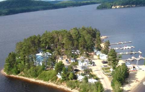
Family outfitter established since 1964 on a peninsula of the Baskatong reservoir.
STARTING FROM Rate hidden: awaiting confirmation by the outfitter /person
VIEW DETAILS